The Skycatch Edge1 is a powerful data processing unit that can generate the following outputs:
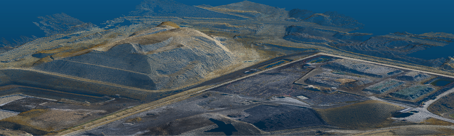
Point Cloud (LAS)
A set of points in displayed in 3 dimensions and can be used to measure and model terrain, material, or surfaces.
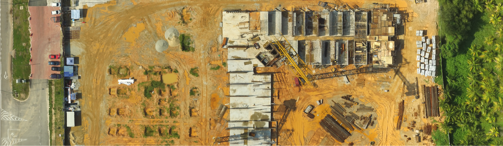
Orthophoto (TIFF)
High-resolution 2D maps, with distortions corrected, for visual referencing, coordinating site logistics, and as-built documentation.
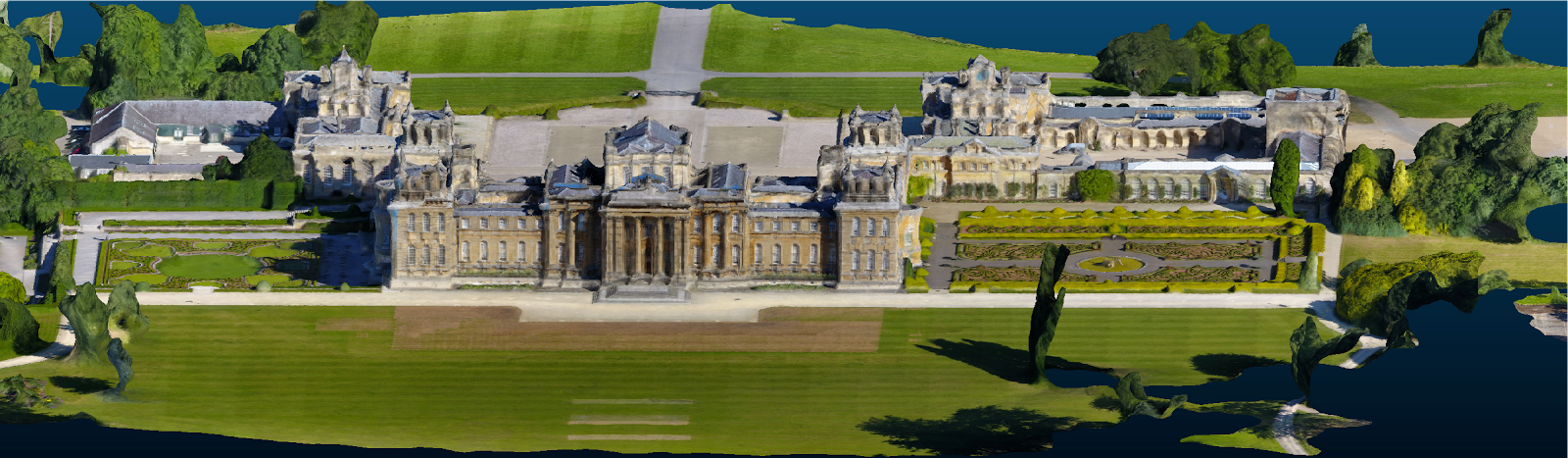
3D Mesh (OBJ)
A representation of an object or surface in 3D or a photorealistic model that has stunning surface detail and texture.
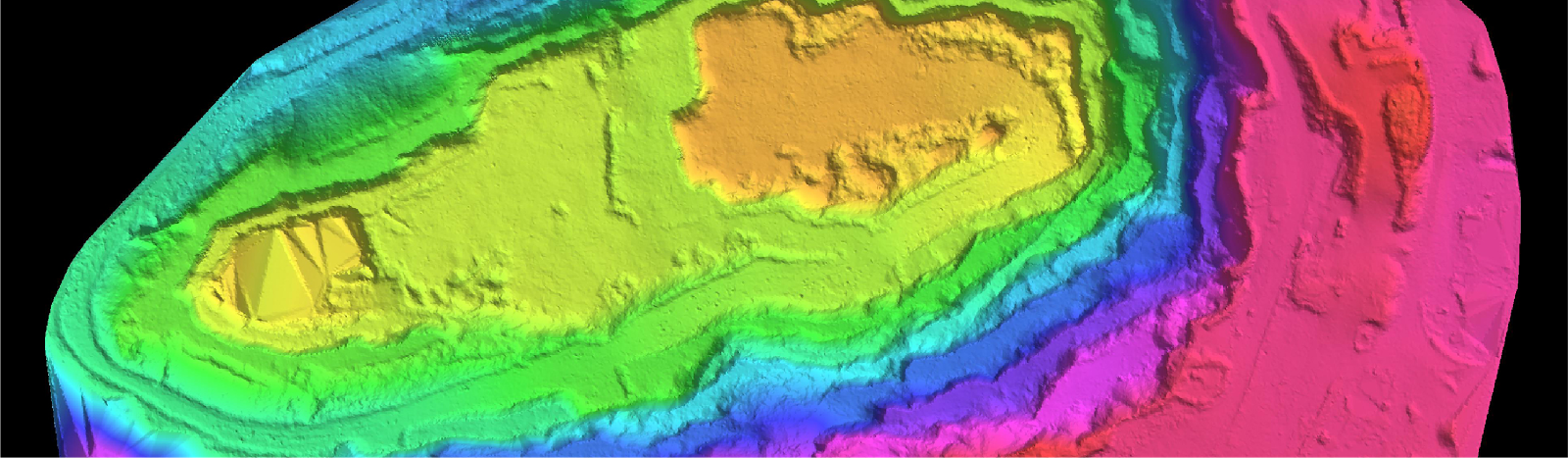
Digital Terrain Model (Pointcloud with Objects Removed)
A point cloud with objects and vegetation is automatically removed for easy terrain analysis.
Point Cloud Density
- Very High: 8.8 cm
- High: 12.5 cm
- Medium: 25 cm
- Low: 50 cm
Comments